
Earthquake Shakes Indonesia’s Maluku Province
A 5.0-magnitude earthquake struck Indonesia’s Maluku Province on Wednesday, as reported by the US Geological Survey. The tremor’s epicenter was located in the sea, approximately 168 kilometers east of Maluku, at a depth of 61 kilometers. Fortunately, there were no immediate reports of casualties or damage.
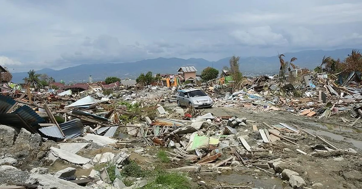
Indonesia, situated along the Pacific Ring of Fire, is prone to seismic activity. The nation’s robust disaster response systems help mitigate risks. While this quake was moderate, it serves as a reminder of the importance of preparedness. Authorities continue to monitor aftershocks.
For real-time updates on seismic events, visit the US Geological Survey’s official site at https://www.usgs.gov. Staying informed ensures safety in regions vulnerable to natural disasters.
Discover how communities worldwide can strengthen resilience against earthquakes through awareness and technology.
FAQs:
1. What was the magnitude of the earthquake in Maluku?
The earthquake measured 5.0 on the Richter scale, with its epicenter located 168 kilometers east of Maluku at a depth of 61 kilometers.
2. Were there any casualties or damage reported?
No immediate casualties or damage were reported following the quake, thanks to its moderate strength and depth.
3. Why is Indonesia prone to earthquakes?
Indonesia lies on the Pacific Ring of Fire, a hotspot for tectonic activity, making it susceptible to frequent earthquakes and volcanic eruptions.
4. How deep was the earthquake?
The quake occurred at a depth of 61 kilometers beneath the seabed, which often reduces surface impact.
5. Which agency reported the earthquake?
The US Geological Survey (https://www.usgs.gov) provided the official data on the seismic event.
6. What precautions should residents take after an earthquake?
Residents should check for aftershocks, inspect structures for damage, and follow local emergency advisories to ensure safety.
7. Has Maluku experienced earthquakes before?
Yes, Maluku’s location makes it a frequent site for seismic activity, though most are minor and cause little damage.
8. What is the Pacific Ring of Fire?
It’s a zone around the Pacific Ocean where many earthquakes and volcanic eruptions occur due to shifting tectonic plates.
9. How does depth affect an earthquake’s impact?
Deeper quakes, like this one, often cause less surface damage compared to shallow tremors of the same magnitude.
10. Are tsunamis a risk after such earthquakes?
Tsunamis are unlikely from deep or moderate quakes, but coastal areas should always stay alert for warnings.
11. What tools monitor earthquakes globally?
Seismographs and networks like the US Geological Survey track and report earthquake activity in real time.
12. How can communities prepare for earthquakes?
Education, emergency drills, and reinforced infrastructure are key to reducing risks in earthquake-prone regions.
13. Does Indonesia have an early warning system?
Yes, Indonesia employs early warning systems for earthquakes and tsunamis to protect vulnerable populations.
14. What should travelers know about quakes in Indonesia?
Travelers should stay informed about local risks, follow safety guidelines, and know evacuation routes.
15. How does this quake compare to past events in Indonesia?
This was a minor event compared to historic quakes, but vigilance remains crucial for future seismic activity.
Factbox:
A 5.0-magnitude quake struck Maluku Province, Indonesia.
Epicenter was 168 km east of Maluku, 61 km deep.
No casualties or damage reported.
Indonesia lies on the seismically active Pacific Ring of Fire.
USGS (https://www.usgs.gov) provided official data.
This article informs readers about the earthquake while emphasizing safety and preparedness. Staying updated helps communities and travelers make informed decisions.